
What you saw if you turned back. A string of lights following the white rope. After this point all the way to the top, I did not have any energy to take out my cam to snap any more pics. forgive me. I will train harder next time.

From the peak. No sunrise, only this:

Very bad weather at the peak. freaking cold, strong winds, drizzle, poor visibility.

THE PICTURE. Been there, done that, took the photo. Didnt buy the T-shirt; no one was selling.

Frost forming on my shoes socks and outer shell

Getting down is as dangerous as gettign up, if not more.

Didnt realize there was this sign until we came down. It was too dark to see on teh way up.


The rocks got warmed up by the sun as the fog cleared. Hence this picture


Not that tall yeah?

The guide with the girls. background of the southern peak


Yes, its that steep

Seems to be like the end of the world, just out of a scene from LOTR


a gorge

You can see my next target in the horizon. Trus Madi, second highest mountain in Sabah.

A very tired me

Nice ears. The donkey ears peak

Fog finally cleared

Beautiful. Just beautiful


Good cameras take good pictures

Going up, the girls didnt know how steep it was, coming down they realized and freaked out.

80 degrees? Wonder if I can ski down this


Sayat hut and the south peak

AFter clearing out our bunks, we went down to Laban Rata for breakfast at 11am and then set off down the mount.

Goodbye K


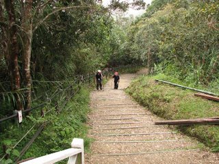
Notice the change in vegetation as we move down

Difficult part. Slippery rocks.

x


The very last stretch to the park gate. The girls took their time. And they took alot.

Got back to KK town, got a room, and flopped down to the restaurant below Ang's hotel for a good meal.


Sleep! Sleep!
zzzzzzzzz


